
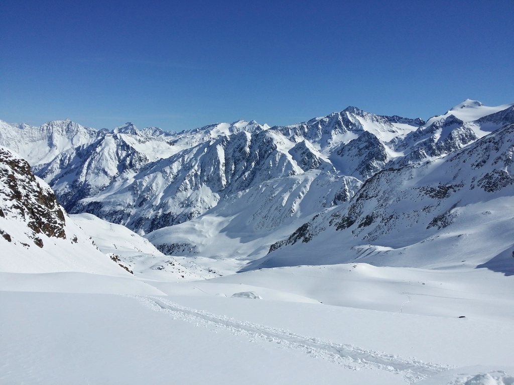
The Vanoise is where France invented the national park. Created in 1963, largely to protect the last few hundred ibex in the country, it covers the high ground between the Tarentaise and Maurienne valleys in Savoie, and its heart is a plateau of ice about 12 km long, ringed by peaks of 3,500 m and more. The Grande Casse at 3,855 m is the highest of them, and the hut circuit around the glaciers, five or six days from Pralognan-la-Vanoise, is the finest way to see it. It is not a long route, and it is not a hard one by Alpine standards. What it offers is a density of ibex, marmots, lakes and ice that is hard to match elsewhere in the western Alps.
Two tours, one massif
There are two circuits that carry the Vanoise name, and it helps to keep them apart. The Tour des Glaciers de la Vanoise is the short one: about 70 km, five or six stages, circling the central ice cap and staying between 2,000 m and 2,900 m almost the whole way. The Tour de la Vanoise is the long one: ten to twelve days, roughly 150 km, taking in the whole park from Tignes and Val d’Isere in the north to Modane and Bonneval-sur-Arc in the south. Both use the same huts in the central section. This article follows the short tour, which is the one most walkers mean when they talk about the Vanoise, with notes on where the long one departs from it.
Pralognan to the Col de la Vanoise
Pralognan-la-Vanoise sits at 1,418 m at the end of the road from Moutiers, and the first stage climbs out of it toward the Col de la Vanoise at 2,517 m. The path passes the Lac des Vaches, a shallow lake crossed on a causeway of flat stones with the Grande Casse rising 1,600 m above the far shore, then the Lac Long, and reaches the hut at the col in about four hours with 1,100 m of ascent. The hut is large, historic and busy, and its terrace is one of the great places in the Alps to eat a plate of tartiflette and watch the evening light climb the north face of the Grande Casse. Ibex graze on the slopes above the hut most evenings, unbothered by the cameras.
The col is also where the GR55, the high-level variant of the GR5 that crosses the whole park from north to south, joins the tour. Walkers on the long Tour de la Vanoise arrive here from the north, over the Col de la Leisse at 2,758 m and past the hut on the Leisse at 2,487 m.
The Maurienne side
From the col the route swings south-east across the flank of the Pointe de la Rechasse, descends past the Entre-Deux-Eaux chalets, and climbs again to the Arpont hut at 2,309 m, a stage of about five to six hours. The Arpont is the most remote hut of the tour, set on a shelf directly below the glaciers with the Dome de Chasseforet at 3,586 m overhead, and the moraines around it are alive with marmots.
The next stage is the long, gentle balcony along the southern side of the ice cap to the huts above Aussois: the Fond d’Aussois hut at 2,324 m and the two smaller huts on the Plan Sec shelf a little lower. This is five hours of walking at around 2,300 m with the Dent Parrachee at 3,697 m ahead, and it is the stage where the Vanoise reveals its scale, with the whole Maurienne valley 1,500 m below and the peaks of the Italian border on the horizon.
Over the Col d’Aussois and home
The crux of the tour comes on the fourth or fifth day. From the Fond d’Aussois the path climbs about 600 m to the Col d’Aussois at 2,914 m, the highest point of the circuit, in a barren bowl of scree and old snow that often holds drifts into July. The view north from the col takes in the Grande Casse, the Grande Motte at 3,653 m and, on a clear day, Mont Blanc. The descent to the Valette hut at 2,590 m is steep and rocky, then the final morning drops 1,200 m through larch forest and meadows back to Pralognan, with an optional detour to the Lac des Assiettes.
Walkers with an extra day often add a night at the hut beneath the Dent Parrachee at 2,511 m, or approach the Col d’Aussois from Aussois village at 1,483 m, which turns the circuit into a figure of eight and adds the fine walk past the dam lakes of the Plan d’Amont and Plan d’Aval.
Huts, rules and reservations
The Vanoise huts are run on the standard French model. Half board is offered everywhere, dormitories are the norm, a sleeping bag liner is required, and blankets are provided. Most of the huts in the park share a single online reservation system, which makes planning easier than in many parts of the Alps, and in July and August a booking is essential; the hut at the Col de la Vanoise in particular fills weeks ahead. Outside the guarded season a winter room usually remains open. Cash is still the safest way to pay at the smaller huts.
The park itself has rules that surprise some visitors. Dogs are not allowed in the core area even on a lead. Camping is forbidden, though a bivouac near a hut is tolerated between seven in the evening and seven in the morning. Picking flowers, flying drones and leaving the marked paths are all prohibited, and the wardens do check. In return, the wildlife is astonishingly tame: the park now holds around 2,000 ibex and several thousand chamois, and marmots whistle from every scree slope.
- Distance: about 70 km with roughly 4,500 m of ascent, in 5 to 6 stages.
- Highest point: Col d’Aussois, 2,914 m.
- Huts: 2,309 m to 2,590 m, all with half board, all bookable online.
- Season: mid-June to mid-September; snow on the Col d’Aussois into early July.
The tour is ideal as a first multi-day hut walk, or as a gentle week between harder trips. The stages are short enough to allow long lunches and detours to lakes, the paths are clear, and the mountains are never far away. June brings snow on the passes and September brings turning larches, and both seasons have their case.
Read next: Tour du Mont Blanc Refuges: How to Book, Pay and Sleep Well