
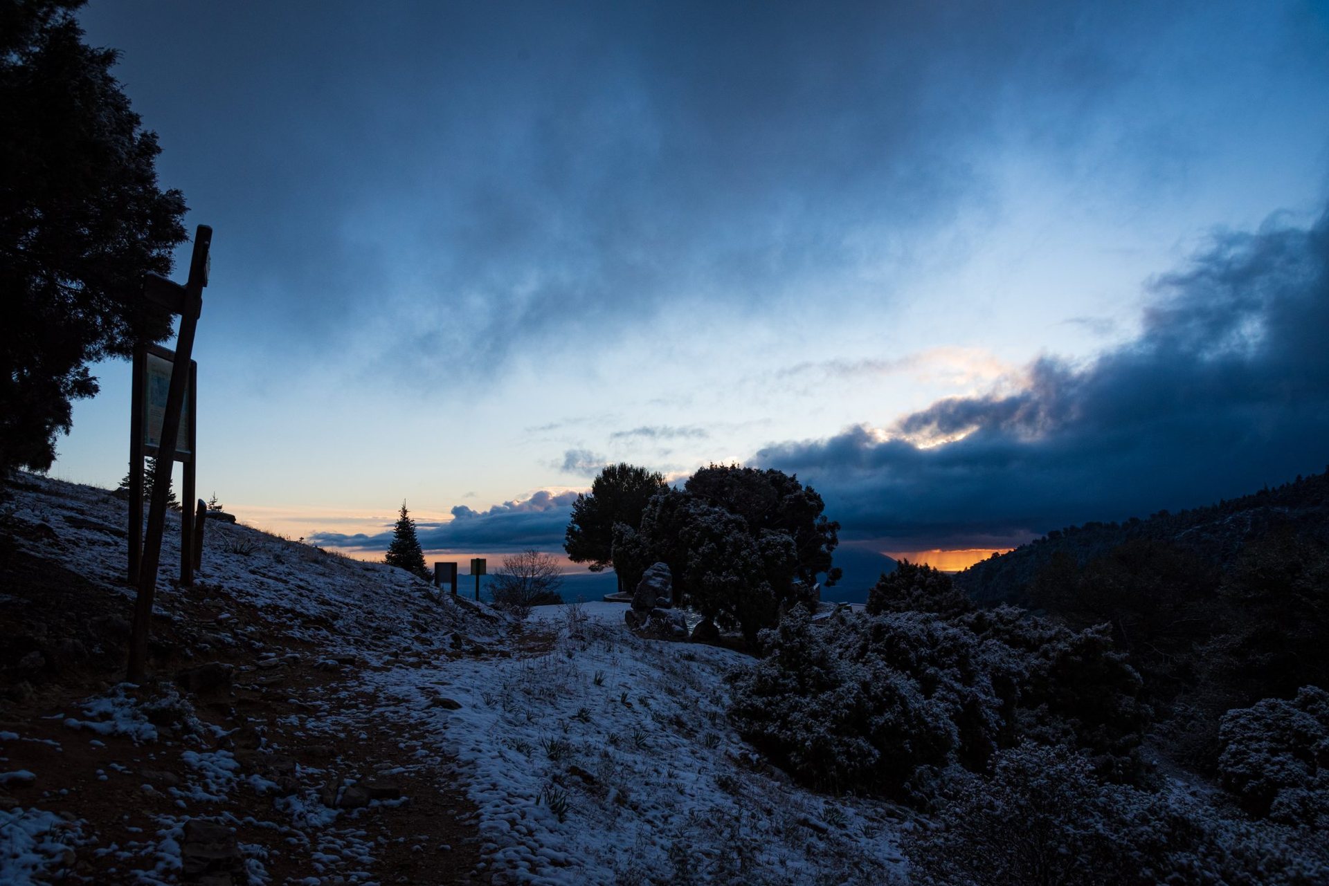
The highest mountain in mainland Spain is not in the Pyrenees. It stands 40 km from the Mediterranean, within sight of the coast of Africa on the clearest days, in a range whose name still surprises first-time visitors: the Sierra Nevada, the snowy mountains, of Andalusia. Mulhacen rises to 3,479 m, only Teide in the Canary Islands stands higher on Spanish territory, and it is one of the most accessible big summits in Europe. That accessibility is deceptive. The Sierra Nevada is a high, dry, windswept plateau range where the weather turns in an hour, and the best way to meet it is not the one-day dash from a road head but two or three nights in its huts and shelters. A late-September crossing from the villages of the Alpujarra to the summit and out over the Veleta shows the range at its best.
A range apart
The Sierra Nevada runs for about 80 km east to west along the southern edge of Granada province, with more than twenty summits over 3,000 m clustered at its western end. Unlike the Pyrenees or the Alps it is built of mica schist rather than granite or limestone, which weathers into rounded crests, long scree slopes and broad summit domes. The last glaciers vanished in the early twentieth century, leaving behind a chain of tarns, called lagunas, between 2,800 m and 3,100 m, and the southernmost glacial cirques in Europe. The national park, created in 1999, covers about 86,000 hectares and is the largest in Spain; a wider natural park surrounds it. Below 2,000 m the southern slopes fall into the Alpujarra, a district of white villages, terraced fields and irrigation channels dating from the Moorish period.
The approach from the Alpujarra
The finest approach begins in the Poqueira gorge, where three villages, Pampaneira, Bubion and Capileira, climb the valley wall in steps. Capileira, at about 1,436 m, is the highest and the usual trailhead. From the village a path climbs the gorge past old threshing floors and summer farms to the staffed hut at about 2,500 m, the only one of its kind in the range. Allow four to five hours for the 1,100 m of ascent, or shorten it by using the seasonal shuttle that runs in summer from Capileira to the Alto del Chorrillo, a saddle at about 2,700 m from which the hut is an hour’s easy walk. The hut offers dormitory beds, meals and half board in the usual way, is open most of the year, and takes reservations that become essential on summer weekends and around public holidays.
The village of Trevelez, in the next valley east, at about 1,476 m, is the other classic start. Its route climbs the Rio Trevelez to the Siete Lagunas, a hanging valley of seven small tarns at around 2,900 m below the east face of Mulhacen, where wild camping is tolerated above the last pastures and a night under the stars is one of the range’s great experiences.
The summit day
From the hut in the Poqueira the standard route to the summit climbs about 1,000 m in three to four hours. The path rises to the Alto del Chorrillo and then follows the old track, built in the 1960s and long closed to traffic, along the shoulder of the Loma del Mulhacen. The final 400 m climb the south ridge, broad and stony with no difficulty in summer. The north face, by contrast, drops 500 m in a single sweep to the Laguna de la Mosca, and the view from the summit cairn takes in the Alcazaba, 3,371 m, the Veleta, 3,396 m, and on a clear day the sea and the Rif mountains of Morocco. A summit at 3,479 m is still a summit: winds regularly exceed 100 km per hour, temperatures can be below freezing in August, and altitude is felt by anyone who slept at sea level two nights before. The descent to the Laguna de la Caldera, just west of the summit, is short and leads to the unstaffed stone shelter beside the tarn at about 3,050 m, a sound and simple place to spend the night if you carry a mat and a stove.
Over the Veleta and out to the north
The classic two-day crossing continues west from the Caldera along the old track, past the Laguna Larga and beneath the Veleta’s northern cirque, to the Collado del Veleta at about 3,200 m. The Veleta itself is a 20-minute detour. Beyond it the ground changes abruptly: the northern slopes carry the roads and lifts of a ski area, and from the Posiciones del Veleta at about 3,100 m a second seasonal shuttle drops to the Hoya de la Mora at 2,500 m and the road down to Granada. In summer this is the busiest side of the range and the easiest exit; it is also where day walkers underestimate the mountain most often, setting off in trainers from a car park higher than most Alpine huts. A more satisfying finish keeps to the crest, dropping south over the Tajos de la Virgen to the Alpujarra by the Lanjaron valley, where a small unstaffed shelter at about 2,300 m breaks the long descent.
Seasons and conditions
Summer in the Sierra Nevada is short at height. The tracks are usually snow-free from mid-June to late October, and that is the walking season; the two shuttle services run roughly from July to early October. Early summer brings meltwater to the tarns and flowers to the high meadows, and late September the clearest skies. Outside those months the range is a serious winter mountain, with deep snow, ice on the crests and a real avalanche hazard, and the summit becomes a mountaineering objective needing crampons, an axe and experience. Even in high summer, do not go up without:
- A windproof shell and a warm layer, whatever the forecast in the valley says.
- At least three litres of water per person for the summit day, because the schist holds none.
- Sun protection suited to 3,000 m in Andalusia, which means more than a hat.
- A map and compass, since the plateau crests are featureless in cloud.
- A mat, a stove and food for the unstaffed shelters, which provide walls, bunks and nothing else.
Why it is worth the detour
Mulhacen will never have the drama of the Naranjo de Bulnes or the exposure of the GR20. Its appeal is different: the strangeness of standing on snow in Andalusia, the stillness of the high tarns, the light on the schist at sunrise, and the way the Alpujarra’s villages hang like white lanterns far below. Give it three days instead of one, sleep once at the hut and once by a laguna, and the roof of mainland Spain will feel less like a tick on a list and more like a place you have actually been.