
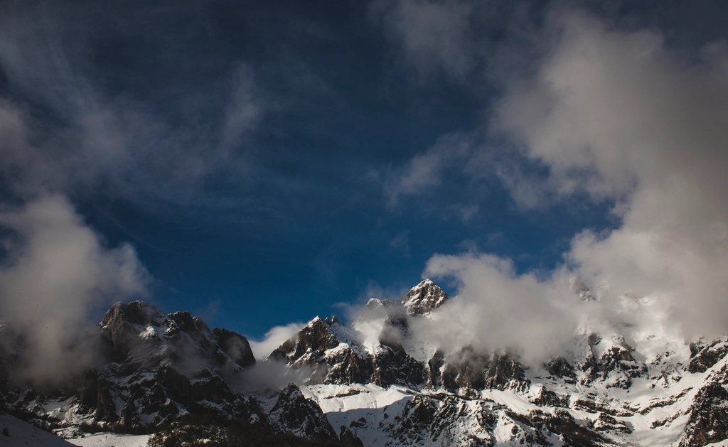
Every summer, a few thousand walkers set out from one sea with the idea of reaching the other on foot. The Pyrenees run for about 430 km in a straight line between the Atlantic and the Mediterranean, and three long trails follow that line: the GR10 on the French side, the GR11 on the Spanish side and the Pyrenean Haute Route, usually shortened to HRP, which weaves between them along the crest itself. They share the same start and finish, the same weather and often the same huts, yet they are three quite different walks. The question walkers ask most often is simply which one to choose. This guide sets out the differences.
The GR10: the French traverse
The GR10 leaves the beach at Hendaye and finishes on the beach at Banyuls-sur-Mer, roughly 900 km later, with something close to 48,000 m of ascent along the way. It stays on French territory throughout, which means it repeatedly drops into valleys to find villages, and that is both its charm and its cost. You sleep in gites d’etape and small hotels as often as in mountain huts, you eat well, and you rarely carry more than two days of food. But every valley descended has to be climbed again the next morning, and the daily elevation gain is often larger than on the higher HRP. The route is waymarked with red and white paint the whole way and needs little navigation. Most walkers take 50 to 55 days; it splits naturally into sections of a week or two, with the Basque Country, the Cauterets and Gavarnie region, the Ariege and the Catalan Pyrenees each making a satisfying trip on their own.
The GR11: the Spanish traverse
The GR11, known in Spain as the Senda Pirenaica, starts at Cabo Higuer near Hondarribia and ends at Cap de Creus, the easternmost point of the Iberian peninsula. It is a little shorter, about 820 km, and involves roughly 40,000 m of ascent over 45 to 50 days. The southern side of the range is drier, sunnier and generally higher, and the GR11 spends more time above 2,000 m than its French counterpart. Villages are fewer and further apart, so there are longer stretches of hut-to-hut walking and more days when the food on your back matters. The waymarking is the same red and white standard, generally well maintained, with the occasional faded stretch in the less visited central sections. The highlights are the big national parks: Ordesa and Monte Perdido, Aiguestortes, and the Aneto massif around the highest summit in the range at 3,404 m. Water can be scarce in late summer on the eastern half, and afternoon heat is a real factor in July and August.
The Haute Route: walking the frontier
The HRP is not an official trail. It has no consistent waymarking, no governing body and no single agreed line, only a tradition, first described in the 1960s, of staying as close to the main ridge as a walker without climbing gear can manage. The usual version covers around 800 km in 40 to 45 days, crossing the frontier dozens of times and topping out on passes just short of 3,000 m. It borrows GR10 and GR11 paths where they suit and leaves them where they do not, which means long stretches on cairned or unmarked ground where map and compass skills are not optional. Some passes hold snow into July; some scree descents are unpleasant; a few sections require a steady head. The reward is a fortnight or two of high, wild country that the two valley routes only glimpse, with nights in huts at 2,200 to 2,600 m and mornings on the crest with both countries at your feet.
Huts, half board and the reservation season
Whichever route you follow, the Pyrenean hut network is the backbone of the walk. Staffed huts on both sides of the frontier offer dormitory beds, an evening meal, breakfast and usually a packed lunch, and half board is the normal arrangement in the high season. The French huts are generally staffed from mid-June to mid-September; the Spanish huts tend to open a little earlier in spring and stay open a little later in autumn, and a handful in the central ranges are staffed year-round. Outside those months many huts leave a winter room open with bunks and blankets but no food.
Reservations have become essential in July and August, especially in the popular parks, and most huts now take bookings online, some months in advance. In quieter months a phone call a day or two ahead is usually enough. Between huts, both traverses pass unstaffed shelters and cabanes where a night is free but a stove and sleeping mat are required, and wild camping above the last hut is tolerated on both sides of the range as long as the tent goes up at dusk and comes down at dawn.
Choosing your traverse
There is no right answer, only a right fit. In short:
- Choose the GR10 if you want a marked trail, comfortable nights, good food and a walk that rewards patience more than technique.
- Choose the GR11 if you want higher and wilder ground, longer hut-to-hut sections, and Spanish sun with the occasional dry stretch to manage.
- Choose the HRP if you are confident with a map in poor visibility, happy on loose ground and snow, and want the crest itself rather than the valleys beside it.
- Mix them if you have three weeks rather than seven: the central section between Lescun and Andorra offers the best of all three lines.
Practical notes for any of the three
The walking season for a full traverse runs from late June to late September. Start earlier and the high passes will still be snowbound; start later and the huts will be shutting behind you. Weather in the Pyrenees comes mostly from the Atlantic, so the western third is wetter and greener, the eastern third drier and windier, and the whole range is prone to violent afternoon storms in high summer. Carry at least two days of food on the GR11 and HRP, three on the remotest stretches, and treat every marked spring as a chance to fill up. Whatever route you pick, the first sight of the Mediterranean from the last ridge above Banyuls or Cap de Creus is worth every one of those forty-odd thousand metres of climbing.